Chart drawing
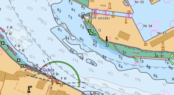
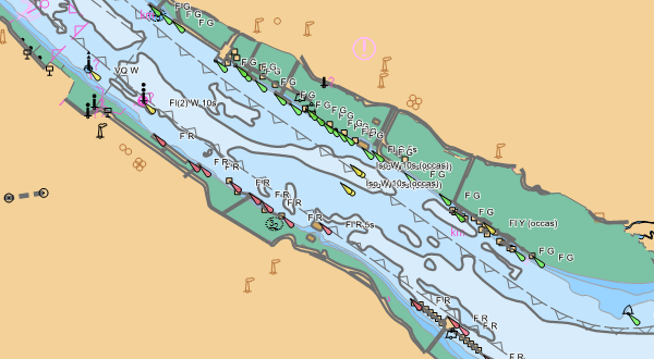
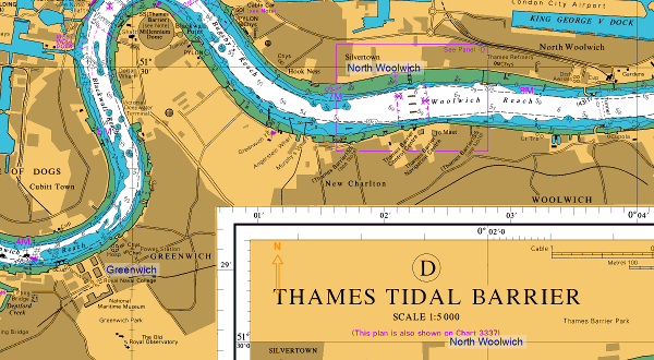
The CherSoft chart engine enables the smooth panning and zooming of charts and works with either a mouse or touchscreen. Even on basic hardware, our chart-based applications are responsive and easy to use. We support a wide range of datums, grids, projections and chart data formats, and are always open to supporting new projects.
Supported chart formats
An enormous range of raster and vector formats including: ENC, S63, ARCS, AML, NTF, Shapefiles, BSB, ASRP, CRP, GRP, CADRG, CIB, geotiff, VPF (DNC, VMap, UVMap), manually georeferenced images such as aerial photographs.
Different options
If you want to add chart drawing functionality to your portfolio, we have a few options available to help you, depending on your skill-set, time and budget.
ENCX is our downloadable chart-drawing SDK that you can build into your own products.
If you would like a bespoke or semi-bespoke system building to your requirements, we have a team of experts who will work with you on every detail.
We have a number of ready-built systems and ADEPT is our newest product. We can also modify our products to fit around your specification. If you would like help to decide which option is best for you, please get in touch and we will be happy to help you.
Providing chart data
To make chart drawing as easy as possible for you, we offer several flexible options.
We can work with an existing electronic chart portfolio. We can supply chart data as part of a project.
Using our electronic chart purchasing and delivery technology, a client’s customers can purchase their own charts directly.
Our interests
We have combined chart drawing with our other areas of expertise to solve a wide variety of interesting problems. These range from voyage planning to vessel tracking to managing large volumes of custom geospatial data.
We have developed our products around solving these problems creatively.